Day 10, July 4, Anchorage, AK to Whitehorse, YK
Dad called Mom and she said, "when are you coming home?" so I guess it
was time to head back. Today we planned our first leg from
Anchorage to Northway, 265 nautical
miles. There was a weather system over Anchorage but the cloud
temperatures were above freezing and the cloud heights were
forecast to be lower than our planned altitude of 10,000 ft MSL, so we
filed IFR to fly over the clouds. Leaving Anchorage
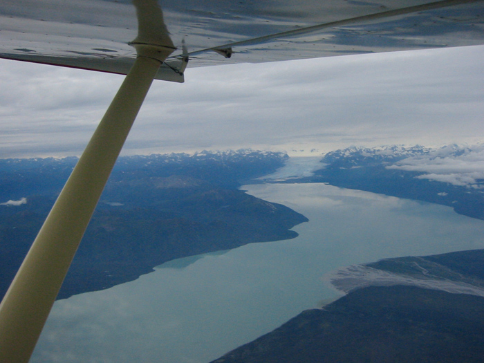
we got a nice view of a glacier before entering the clouds:
Now the fun began. We climbed up to our altitude of 10,000 ft.
and we weren't above the clouds. We requested 12,000 feet and
that did the trick. But for a brief 15 seconds, we passed through
the very top of the system, and entered clouds and got a sheet of ice
on the plane. Oh boy. Icing is scary because it adds weight
to the plane, but worse, it destroys lift, the force that keeps your
plane aloft. Fortunately that was the worst of it and the clouds
decreased and eventually disappeared, and the ice quickly
sublimated. I always like to have an out, and in that case, if
the clouds had been a little higher, our out was to turn around and
return to Anchorage. But all looked well ahead of us at this
point. The weather was forecast to be VFR (visual flight rules,
i.e., good weather) at Gulkana, about the
halfway point and this was our second out, if weather deteriorated
towards Northway. We flew over Gulkana and it was clear to
the surface. Then we entered clouds. and got
ice. and turned around. and informed ATC we were canceling
IFR. and landed in Gulkana. No problem. Now
what. Well, the guys at Gulkana said, you might be able to fly
the river valley VFR. There are a couple of places where
the route could be blocked by clouds but plenty of room to turn
around. This turned out to be one of the most fun flights
I've ever made. We were in a glacier valley for much of the
way, with plenty of emergency landing spots, and enough landmarks to
know where we were and not turn down the wrong valley. We were
also following a road. And we had the GPS. Once we got to
Nabesna, probably the most narrow and highest spot, it was all clear
and we turned left, headed out the Nabesna river and the ground
descended beneath us.
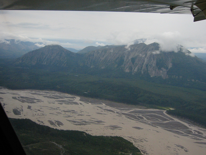
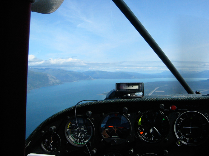
Here we are heading up the Copper River valley:
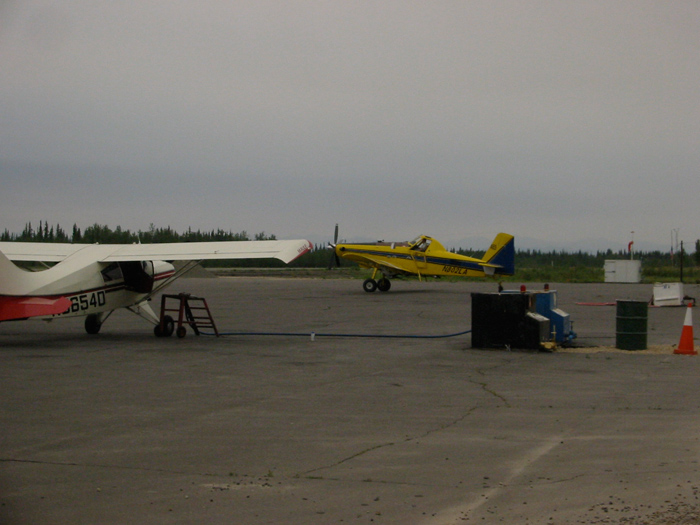
Here is Northway Alaska. Recall this airport was closed on our
way up, but winds finally shifted.
After fuel in Northway, our next stop was Whitehorse. There was
marginal VFR reported on the way to Beaver Creek and then it was
supposed to clear up. And that's exactly what
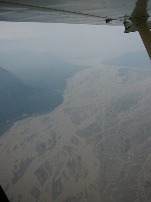
happened. Here's the last of the smoke:
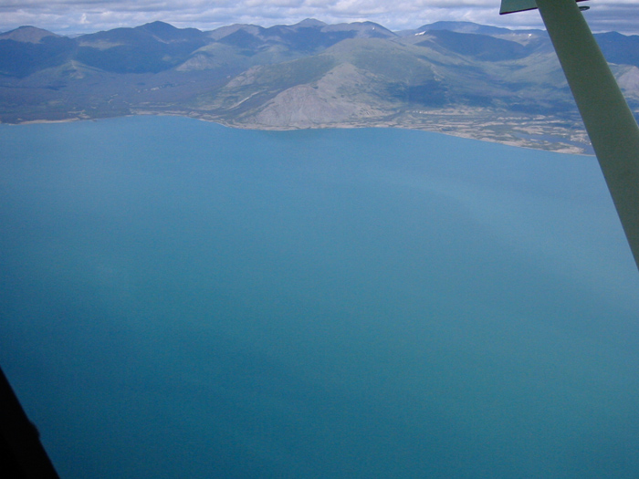
And here's beautiful Kluane Lake:
There was a gorgeous glacier to our right that we just admired and
didn't take a picture of. I wouldn't have minded flying up there
to check it out.
We arrived in Whitehorse in clear weather and called the number for
customs and they cleared us into Canada with no questions. We
stayed at the High Country Inn and had a nice dinner at the Westmark
Hotel.