Day 6, June 30, Ft. Nelson, BC to Dawson City, Yukon
Today we decided to fly to Watson Lake and then on to Dawson
City. From there we could fly IFR to Anchorage, since Fairbanks
was still closed.
The weather was nice in Ft. Nelson:
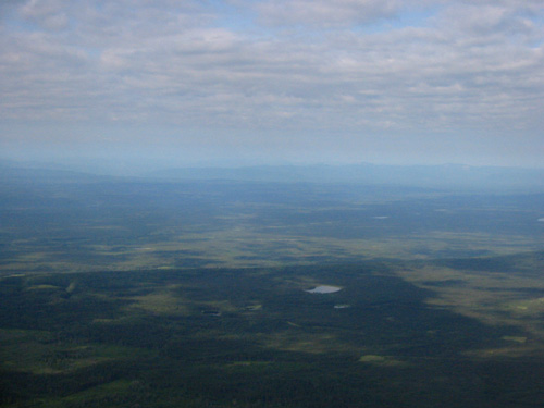
And we're starting to see some hills, which is nice.

Now we're flying over smoke, as foretold by flight service, based on
pilot reports. But Watson Lake was in the clear, as
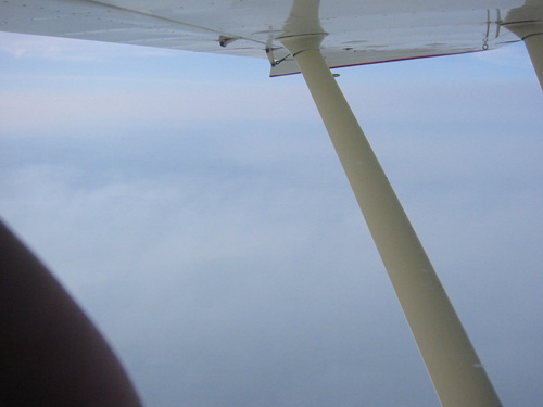
expected. Oh, and my picture snapping technique appears to have
changed. From here on out, there will be a lot of thumbs in the
pictures.
We landed in Watson Lake, fueled up, got a weather briefing and filed a
flight plan for Dawson City. The route was expected to be
marginal VFR. We planned to fly high enough to clear all the
mountains, just in case the visibilities were very low. Our route
followed the highway to Faro and the river to Dawson City, with the
help of the GPS and the ADF (a radio beacon finder). See the map
from Day 4 for reference.
Now we're starting to see some bigger mountains which is fun:
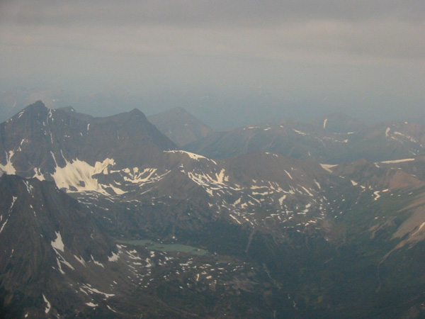
Unfortunately, most of the time, the visibilities were lower than
this. It was very marginal VFR. But it was clear, if
hazy, in Dawson City, as foretold by the weather briefers.
It's interesting flying into Dawson City. We followed a river
valley from the east, and the airport is blocked from your line of
sight by some hills that jut out, so you don't see the runway until
pretty late in the approach. But you just have to trust your
charts and all works out.
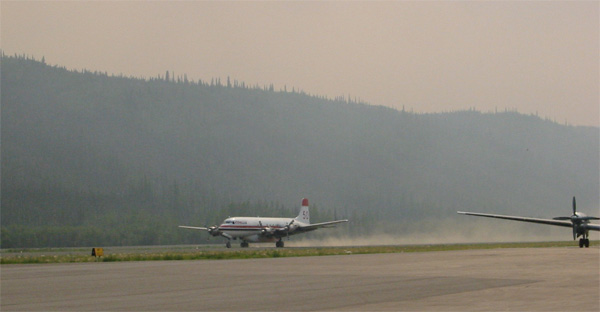
The Dawson runway is a gravel strip but it's quite large. This
plane is, you guessed it, a fire-fighting plane. The sky had an
orangish tint to it, looking towards the sun.
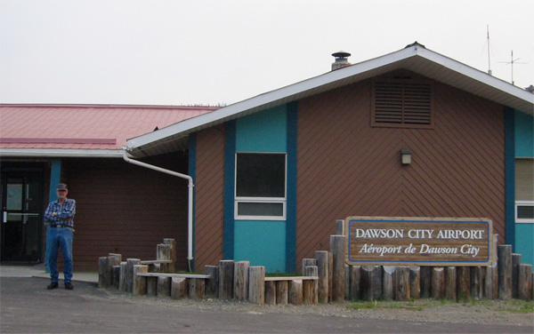
Hanging out, waiting for a ride to the hotel. Some bicyclists
rode by.
This was our farthest point north, at latitude 64 degrees.
And given that it was June 30, the days were very long.